
On a clear March morning, a retired schoolteacher from Dehradun named Prakash Rawat stood at the stone boundary wall of the old Cloud’s End Hotel and pointed northeast. Behind him, the Mall Road crowds and their honking taxis had vanished entirely. Ahead, a narrow dirt path disappeared into a stand of oak and rhododendron, its red blooms just beginning to open. “I have been coming here for eleven years,” he said. “The view at the top has never disappointed me once.”
That trail leads to Benog Tibba, a summit ridge sitting at approximately 2,480 metres above sea level in the Benog Wildlife Sanctuary, which falls under the jurisdiction of the Uttarakhand Forest Department. The route begins at Cloud’s End — the westernmost tip of Mussoorie town — and covers roughly 5 kilometres one way through protected forest. Despite being accessible from one of North India’s most visited hill stations, the trail sees a fraction of the footfall that Kempty Falls or Gun Hill attract on any given weekend.
Where Cloud’s End Is and How to Reach It
Cloud’s End sits at the far western end of Mussoorie, separated from Library Chowk by approximately 6 kilometres of winding road. Most visitors arrive by shared taxi from Library Chowk or Kulri Bazaar, a ride that costs between ₹15 and ₹30 per seat depending on the season and the vehicle. Private cabs from Mussoorie Mall Road to Cloud’s End charge roughly ₹200–₹350 one way, according to rates posted at the Mussoorie Taxi Stand cooperative board in early 2026.
From Dehradun railway station, the drive to Cloud’s End takes approximately 50–60 minutes in light traffic via the Rajpur Road route. Buses from Dehradun’s ISBT Parade Ground run frequently to Mussoorie Library Chowk, with tickets priced at ₹55–₹80 per person for the Uttarakhand Transport Corporation service. From Library Chowk, the shared taxi to Cloud’s End is the most practical option.
The Trail: What the Route Actually Looks Like
The hike begins at the Benog Wildlife Sanctuary gate, located just past the Cloud’s End Hotel compound. Visitors must sign the entry register and pay the permit fee before proceeding. The Forest Department checkpoint is staffed daily from approximately 7:00 AM to 4:00 PM; entry after 3:00 PM is discouraged by the on-site staff, who cite the risk of returning in darkness.
The first kilometre follows a wide forest road through dense oak and rhododendron. By late February and through March, the rhododendron trees carry heavy clusters of crimson flowers, making this section visually striking. The trail narrows after the first junction and begins a moderate climb through chestnut and deodar stands. According to local trekking coordinator Sunita Negi, who operates a small guiding service from Kulri Bazaar, the path is well-worn but carries no signage beyond the first 1.5 kilometres.
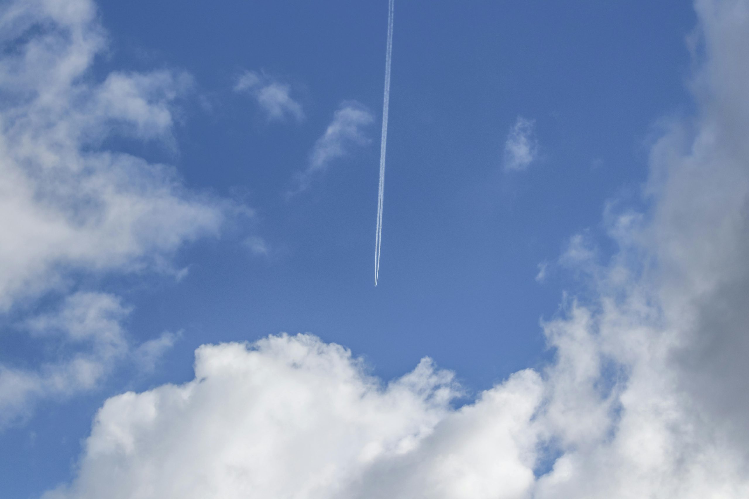
The summit ridge at Benog Tibba opens onto a broad clearing with a small temple dedicated to Mata Benog Devi, which gives the hill its name. On clear days, the visible peaks include Bandarpoonch (6,316 m), Swargarohini (6,252 m), and sections of the Gangotri massif. The Doon Valley spreads out to the south, with Dehradun city visible in the haze below.
Best Season, Weather Windows, and What to Carry
The Benog Tibba trail is accessible year-round, but conditions vary significantly by season. The clearest mountain views occur between late February and mid-April, before the pre-monsoon haze builds, and again between late September and November after the monsoon withdraws. The India Meteorological Department classifies Mussoorie as receiving heavy rainfall between June and September, during which the trail becomes slippery and leech activity increases substantially.
A typical day hike to Benog Tibba and back takes between 4 and 6 hours depending on pace and stops. The following items are considered essential by local guides:
- At least 1.5 litres of water per person (no natural water sources on the upper trail are confirmed potable)
- Layered clothing — temperatures at the summit can be 5–8°C cooler than Mussoorie town even in summer
- Trekking shoes or sturdy sports footwear with grip (the upper section has loose stones)
- Sunscreen and a hat for the open summit clearing
- A light rain cover or windcheater between October and March
- Binoculars, if available, for peak identification
Cost Breakdown for a Day Trip From Mussoorie
For visitors already staying in Mussoorie, a day trip to Benog Tibba can be completed for under ₹700 per person, including transport, entry permit, and a basic packed lunch. The following table outlines approximate costs as of March 2026.
Guides can be arranged through informal contacts near the sanctuary gate or through small operators along Kulri Bazaar. The Uttarakhand Tourism Development Board lists Mussoorie as a registered trekking zone, though the Benog Tibba route does not yet appear in its formal guided-trek catalogue as of March 2026.
What to Do After the Hike: Combining Cloud’s End With Other Stops
Most visitors return from Benog Tibba by early afternoon, leaving enough daylight for secondary stops along the western ridge. The Cloud’s End Hotel, a heritage property with origins in the British colonial period, operates a small café open to non-guests that serves tea, Maggi, and light snacks. Prices are moderate by Mussoorie standards, with a pot of tea priced at approximately ₹80–₹100.
About 2 kilometres back toward Mussoorie town on the main road lies the Barlowganj area, which carries a quieter residential character compared to the Mall Road strip. Several small dhabas here serve Garhwali thali meals — typically featuring mandua roti, dal, and seasonal vegetables — for ₹120–₹180 per plate. These establishments do not operate on a reservation system and serve food until stock runs out, generally by 3:00 PM.
Visitors wishing to extend the trip into a two-day itinerary can stay in Barlowganj, where guesthouses charge between ₹800 and ₹1,800 per night for basic double rooms — significantly below Mall Road rates for equivalent accommodation. According to listings reviewed on MakeMyTrip in March 2026, Barlowganj properties with mountain-facing rooms book up quickly during the April–May peak season and the October long-weekend period around Dussehra.