
Fewer than 200 visitors per day reach George Everest Peak on a typical spring weekend, according to estimates from licensed local trail guides operating out of Mussoorie — a striking contrast to the roughly 3,000 tourists who ride the Gun Hill ropeway on the same days. The peak sits approximately 6 kilometres west of Mall Road, at an elevation of 2,060 metres above sea level, and holds the stone ruins of the estate once occupied by Sir George Everest, the British surveyor-general of India whose triangulation work in the 19th century underpinned the calculation of the world’s highest mountain’s height.
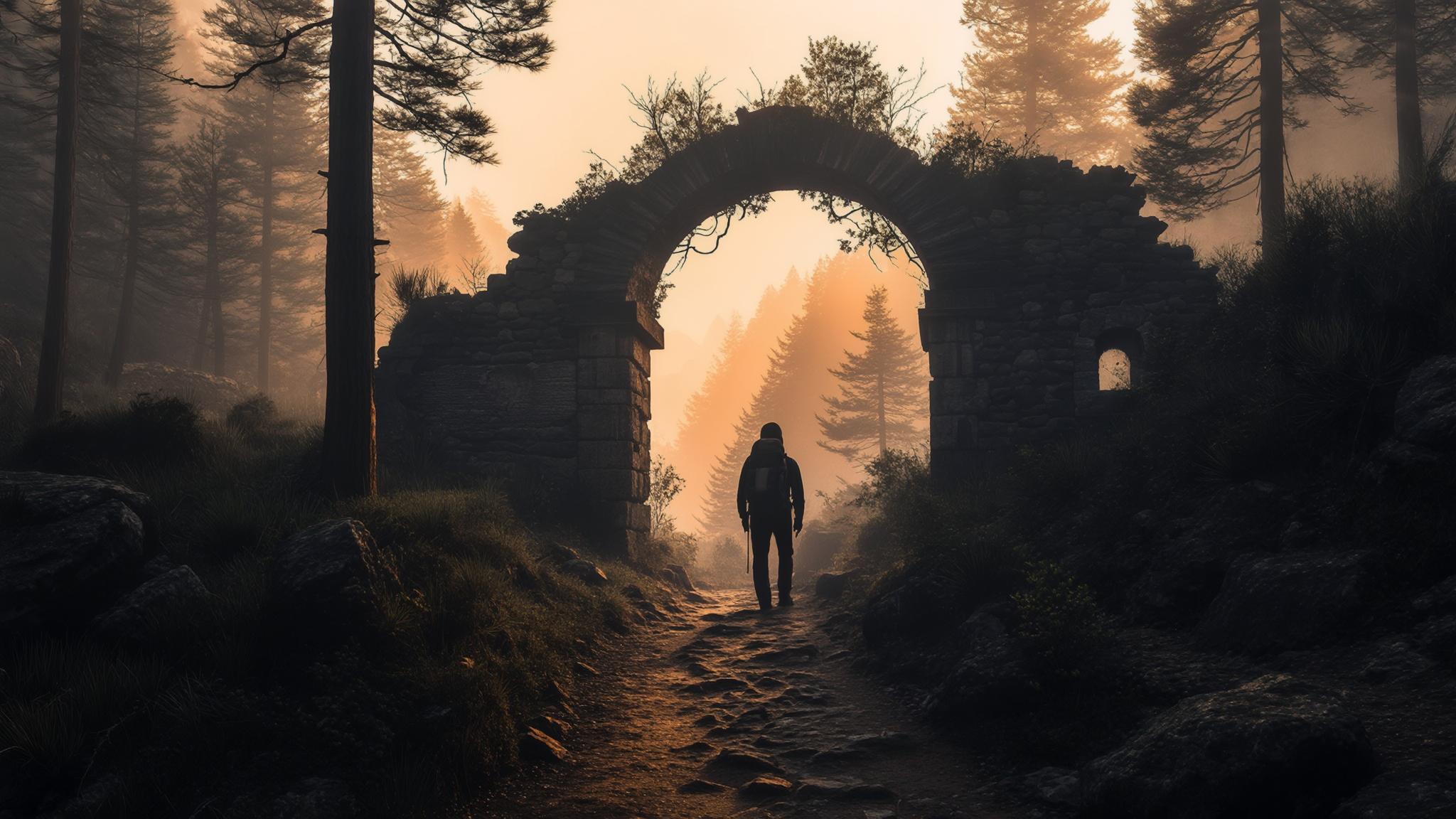
The trail begins near the Library Bus Stand at the western end of Mall Road and follows a paved road before narrowing into a forest path through oak and rhododendron stands. The route gains roughly 200 metres of elevation over its final kilometre, making the last stretch the only section that requires moderate effort. Most trekkers completing the route in April 2026 reported round-trip times of three to four hours, inclusive of time spent at the summit ruins.
What George Everest’s Estate Actually Looks Like Today
The estate consists of two primary structures: a residential bungalow and a separate laboratory building, both constructed in the 1830s. Both are in varying states of structural decay. The Archaeological Survey of India (ASI) has placed informational signage at the site, identifying it as a heritage location, though active restoration work has been limited in recent years, according to statements from the Mussoorie Municipal Board cited in local Uttarakhand press in 2024.
The residential structure retains its arched doorways and partial exterior walls. The laboratory, where Everest conducted his longitudinal and latitudinal measurements, still has a roofline intact on two of its four sides. Visitors are permitted to walk through the grounds but not to climb the walls, per signage posted at the entrance gate.
The panoramic view from the summit terrace spans the Aglar River valley to the south and, on clear mornings before 9 a.m., offers sightlines to the Bandarpunch and Swargarohini peaks of the Garhwal Himalayas to the northeast. Haze and cloud cover typically reduce visibility by late morning during the pre-monsoon months of April and May.
The Trek Route: Distance, Terrain, and Practical Costs
The full route from Library Bus Stand to the summit and back covers approximately 12 kilometres in total. The first four kilometres follow a metalled road passable by vehicles, meaning the gradient is gentle and the surface is predictable. The final two kilometres on each side transition to a compacted dirt path with loose gravel sections near the peak.
Licensed guide Ramesh Negi, who has led treks on the route for more than a decade and is registered with the Uttarakhand Tourism Development Board, confirmed to NPP Mussoorie that the trail is safe for solo walkers without a guide during daylight hours. He places the one-way walk at roughly 90 minutes for a fit adult at a moderate pace. “Most people from the plains take two hours going up because of the altitude adjustment,” Negi said in an interview conducted on the trail in March 2026.
There are no tea stalls or refreshment vendors on the trail itself as of April 2026, according to multiple trekkers contacted by NPP Mussoorie. Carrying at least one litre of water per person is standard advice from local guides. The nearest food options are two dhabas located at the 3km mark on the paved road section, both serving basic meals for under ₹150 per person.
Historical Context: Why the Peak Carries Everest’s Name
Sir George Everest served as Surveyor-General of India from 1830 to 1843. His Great Trigonometrical Survey of India, which he inherited from William Lambton and expanded across the subcontinent, produced the geodetic baseline data used by his successor Andrew Waugh to calculate the height of Peak XV — later renamed Mount Everest in Everest’s honour in 1865, more than two decades after Everest himself had returned to England.
Everest reportedly chose the Mussoorie site for his estate and laboratory because the elevated position above the Doon Valley provided unobstructed sightlines south toward the plains, essential for his triangulation work. According to the Archaeological Survey of India, the estate was constructed between 1832 and 1835 and used as an active survey station for most of that decade.
How George Everest Peak Compares to Mussoorie’s Popular Viewpoints
The hill station offers several competing viewpoints, each with a different cost, crowd profile, and effort requirement. Gun Hill, reached by ropeway or a 20-minute walk from Kamptee Road, charges ₹250 per person for the cable car and draws the highest daily footfall of any single attraction. Lal Tibba, the highest point in Mussoorie at 2,275 metres, is accessible by road and charges a nominal entry fee, but its telescope facility — a historic attraction — has been out of service for extended periods, according to reporting by the Hindustan Times Dehradun bureau in 2025.
George Everest Peak’s comparatively low visitor count reflects both its distance from the main tourist strip and the absence of commercial infrastructure — no souvenir stalls, no snack vendors, no amusement rides. Visitors who have completed the trek and left reviews on travel platforms consistently cite the quiet and the unobstructed 270-degree valley view as the primary draws, according to an aggregation of reviews on TripAdvisor compiled in early 2026.
Planning a Visit: Seasonal Windows, Transport, and What to Carry
The optimal months for the trek are March, April, October, and November. March and April offer rhododendron bloom along the trail and the clearest pre-monsoon views. October and November provide post-monsoon clarity with cooler temperatures. The trail is officially closed during the monsoon months of July and August due to landslide risk on the approach road, per Mussoorie Municipal Board advisories.
Transport to the trailhead is straightforward from Mussoorie’s main bus stand. Shared jeeps running on the Barlowganj and Park Estate routes pass within 1.5 kilometres of the trailhead for approximately ₹20–30 per seat. Auto-rickshaws from Mall Road charge roughly ₹150–200 for a one-way drop to the trail start. No direct taxi aggregator service currently operates a dedicated George Everest Peak route, though local taxis available near Picture Palace can be hired for the point-to-point journey.
- Carry minimum 1 litre of water per person — no vendors on trail
- Start before 7 a.m. for clear Himalayan views before cloud build-up
- Bring a valid government photo ID for the cantonment checkpoint
- Wear closed shoes — loose gravel on the final 1km approach
- The estate gate opens at approximately 7 a.m. and closes by 6 p.m.
Uttarakhand Tourism’s regional office in Dehradun confirmed to NPP Mussoorie in March 2026 that there are no current plans to add a ropeway or mechanised access to George Everest Peak, citing the site’s heritage status and the cantonment zone restrictions as practical barriers. That absence of infrastructure is, according to guides like Negi, precisely what preserves the experience for the visitors who do make the walk.